Posts

Peer-Review Assignment #2: A Synopsis of Etherington’s “Python based GIS tools for landscape genetics..."

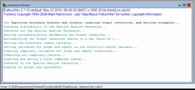
Module 9 - Working with Rasters

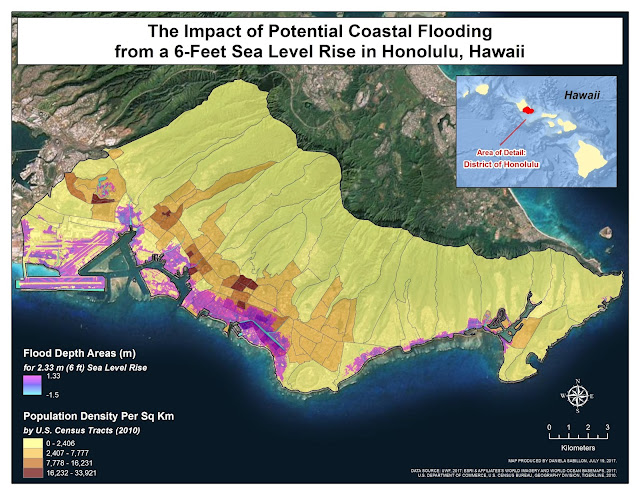
Module 7 - Coastal Flooding

Module 8 - Working with Geometries

Module 7 - Exploring and Manipulating Spatial Data

Module 6 - Crime Analysis & Crime Hotspot Mapping

Module 5: Spatial Accessibility Modeling

Module 6 - Geoprocessing with Python

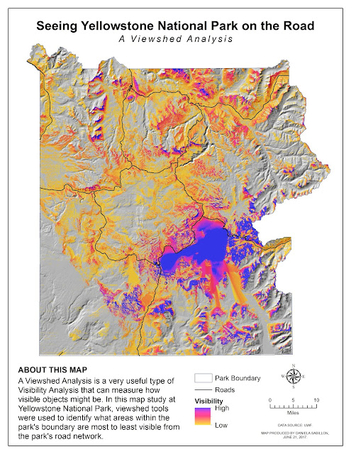
Module 4 - Visibility Analysis (Viewshed and Line Of Sight)

Module 5 - Geoprocessing with ArcGIS

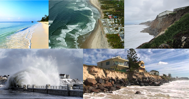
Peer-Review Assignment #1: A Summary of Silva & Taborda's "Integration of beach hydrodynamic and morphodynamic modelling in a GIS environment"

Module 4 - Debugging & Error-Handling

Module 3 - Watershed Modeling and Delineation

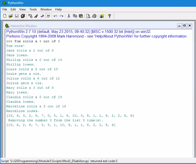
Module 3 - Python Fundamentals Part 2

Module 2 - Corridor & Least-Cost Path Analysis

Module 1 - Suitability Analysis & Modeling

Module 2 - Python Fundamentals Part 1

Module 1 - Introduction to Python

Final Project - Effectively Communicating 2014 Mean SAT Scores and Participation Rates in the USA through a Bivariate Map

Final Project - GIS Leads the Placement of the Bobwhite-Manatee Transmission Line